Part of living is knowing the world around us. As time goes by, advancements in science and technology have made this once colossal planet, filled with vast land masses, feel much smaller. We can learn about our earth with all the data which have been collected and made available to the public via the internet.
The use of this data, which is called geospatial data, can be seen being applied in our daily lives. We see it and benefit from it whether we are aware of what it is or not. Read on so you can learn more about what geospatial data is and how to use geospatial data.
What is Geospatial data?
If you dissect the word geospatial, you will get geo which means earth, ground, or soil. The next half, spatial, means relating to, occupying, or having the character of space. Data, on the other hand, refers to factual information used for reason, discussion, or calculation. So it is safe to say that geospatial data concerns the earth and information about events and objects that are on or near its surface.
How to Use and Benefit From Geospatial Data
Geospatial data can be used for a number of purposes. It will depend on what the person will use the data for. It could be as simple as for personal reasons or as complex as for growing and planning your business.
For personal use, such as planning your vacation, you can simply download certain apps that can serve you. On the other hand, you or your business organization can also benefit from the use of geospatial data.
Some examples of personal use of geospatial data are as follows:
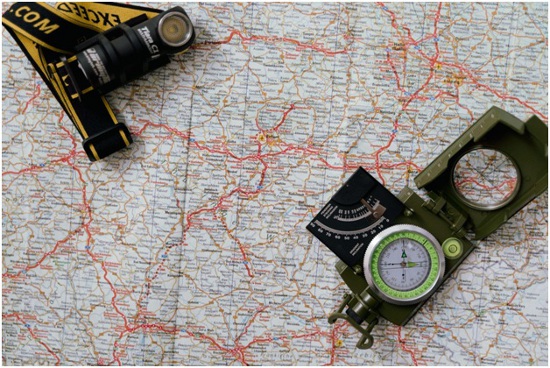
Direction maps
Before the internet and geospatial data were available, travelers had no other means to find the best route going to their destination. The primary means to avoid getting lost was to bring a traditional paper map. The problem with this traditional map is that it was not up to date when changes such as a road name change happened. This was because traditional paper maps took months and years, even before an updated version was released. Today, you can access your preferred online map with an internet connection and your mobile device.
Traffic monitoring
Avoiding traffic saves time and gas. One, or probably the best, way to avoid traffic when driving is the use of a satellite navigation software app. This app has a map that shows where traffic is heavy and if you made a wrong turn, can suggest alternative routes so you can get back on track.
Weather Updates
What travel is complete without checking the weather? You can access geospatial data concerning weather from weather apps if you want to check the weather in your location or the place you are going to. The data can also show you not just the current weather but also a fairly accurate prediction of the weather for the succeeding days. The weather may change all of a sudden, so you will need to check for changes periodically.
Location selection
A business in the wrong location has slim chances of thriving, let alone surviving. You need to set up shop at a location that is advantageous to your business. If, for example, you sell consumer goods or you are in the restaurant business, you would need to set up your food place at a location with heavy foot traffic.
Visitor count
You can find out the number of people visiting your shop at any given time with the help of geospatial data. Precision GPS data from a visitor’s cellphone combined with accurate building footprint data is essential in pointing out if someone just passed by or actually went into your shop.
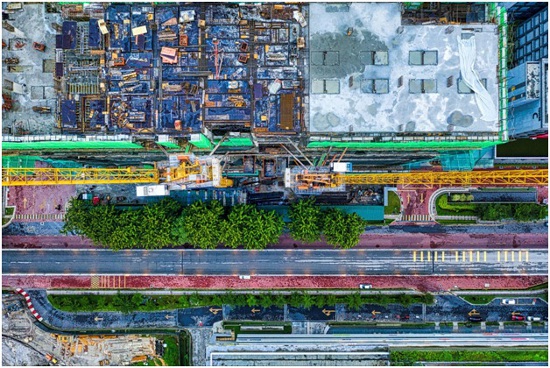
Urban planning
Those who work in government or architects who are tasked with urban planning now use geospatial data without the need to visit the actual area to be developed and send people to do measurements which can be very costly. Geospatial data provides the information needed for urban planners to design and create proper liveable communities.
Competition research and analysis
In the world of business, it is not enough to know what you have and what you can offer. Just as important is knowledge about your competitors. You use geospatial data to find the location of your competitors.
You may then decide if you will put up your business in close proximity to your competitor so you can get some market share, or if you decide to put up your business at a certain location where there are little to no competitors for you to have a greater share of the market.
Conclusion
Whatever walk of life you are from, there surely is geospatial data that can be useful to you. You should take advantage of and use geospatial data to make your life easier and streamline your business.


